


New at Chattbike.com
-
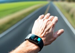
Gear Up: Must-Have Fitness Trackers for Cyclists
Explore the top Fitness Trackers for Bikers to enhance your rides. Find the perfect device to monitor performance and progress. Get geared up now! More
-

Recovery Rides: The Importance of Rest in Your Cycling Routine
Explore the immense benefits of Recovery Rides in enhancing your cycling routine. Learn how deliberate rest can revolutionize your performance. More
-
-
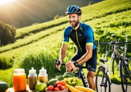
Fueling Your Ride: Nutrition Tips for Peak Cycling Performance
Power up your pedals! Get expert Cycling Nutrition tips for sustained energy, optimal hydration, and recovery. Ride stronger, longer! More
-
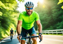
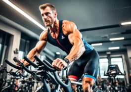
Optimizing Cardiovascular Health: The Ultimate Guide to Biking Workouts
Enhance your heart health with our expert guide on Biking Workouts designed for cycling endurance, HIIT, and indoor cycling fitness. More
-

Mindful Riding: The Mental Health Benefits of Frequent Biking
Explore the joys of mindful riding and discover the mental health benefits of frequent biking for stress relief and emotional well-being. More
-
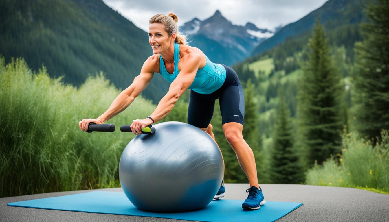
Building Strength on Two Wheels: Effective Cycling Strength Training
Elevate your cycling performance with targeted Strength Training routines designed for enduring power and speed on the bike. More
-
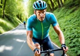
Cycling for Weight Loss: Shedding Pounds with Pedals
Unlock the power of pedals for your weight loss journey. Discover effective cycling strategies to burn calories and transform your body composition. More
-

-

Bike and Brew: Exploring Craft Beer and Bike Trails Across the U.S.
Pedal your way through the best Beer and Bike Trails! Discover scenic paths, craft brews, and memorable rides across the U.S. Join the adventure. More